Kommentar
Membership info
Register new
Login
Stadt:
Startseite
Wetterbericht
Wetterbericht
Europavorhersage
Topics
Vorhersage
Deutschland
Weltweit
UV Index
Wasser
Wettersuche
Profikarten
Aktuelles Wetter
Wetter
Wettersuche
Radar
Satelliten
Blitze
Webcams
Tropische Stürme
Archiv
Grafiken
Tabellen
Klima
Graphiken
Klimafinder
Reiseplaner
Sport
Segelwetter
Wimbledon
Tour de France
Golf
Lexikon
Weather Facts
Winde der Welt
Klimate der Welt
Weather Brains
Bauernregel
Philip Eden
Ölpest
Fukushima
Vulkanasche
Video
Service
Mobiles Wetter
B2B
Freie Services
Personal Weather
Member
Pressemitteilungen
Agrarwetter
Wetterwarnungen Großbritannien
heute
Do 24
Fr 25
Sa 26
So 27
Mo 28
00:00-06:00
06:00-12:00
12:00-18:00
18:00-24:00
Be aware
Be prepared
Take action
Coloured regions on the map show where severe weather warnings have been issued.
Wind
Rain
Snow
Ice
Fog
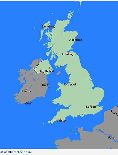
Wetterwarnungen, 24.10.2024, Großbritannien
Großbritannien
Übersicht
Orkney & Shetland
Highland & Eilean Siar
Grampian
Strathclyde
Central, Tayside & Fife
SW Scotland, Lothian Borders
Nordirland
Wales
North West England
North East England
Yorkshire & Humber
West-Midlands
Ost-Midlands
Ost-England
Südwest-England
London & Südost-England
Archiv
24.10.2024
heute
<
Oktober
S
M
T
W
T
F
S
1
2
3
4
5
6
7
8
9
10
11
12
13
14
15
16
17
18
19
20
21
22
23
24
25
26
27
28
29
30
31
>
<
2024
>