Wetterwarnungen Großbritannien


00:00-06:00

06:00-12:00

12:00-18:00

18:00-24:00


Unwetterwarnung: Regen
ausgegeben vom Metoffice at
09:05, 22.05.2024
gültig von
12:00, 22.05.2024
gültig bis
12:00, 23.05.2024
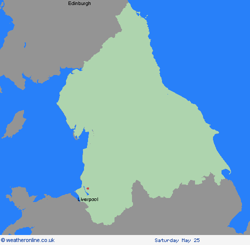
Region: Yorkshire & Humber
Rain becoming heavy and persistent during Wednesday afternoon before easing during Thursday morning. The heaviest rain is expected over north facing hills and where strong winds will enhance rainfall accumulations. Many places within the warning area will see 30-40mm of rain, with high ground of northwest England seeing 70-90 mm. While mountains of north Wales may see 100-150mm or more. What should I do? Keep yourself and others safe; prepare to avoid travelling by road during potentially dangerous road conditions. If you must travel, ensure you watch for possible danger and drive cautiously. It is not safe to drive, walk or swim through floodwater, avoid it where possible and if you are affected by fast flowing or deep-water call 999, and wait for help. Stay up to date with the weather forecast for your area and follow advice from emergency services and local authorities
Chief ForecasterRain will become heavy and persistent later Wednesday and Thursday with flooding and disruption likely.
The public is advised to take extra care, further information and advice can be found here: http://www.metoffice.gov.uk/weather/uk/links.html
Unwetterwarnung: Regen
ausgegeben vom Metoffice at
09:05, 22.05.2024
gültig von
00:15, 22.05.2024
gültig bis
12:00, 23.05.2024
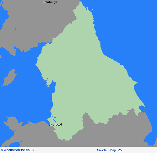
Region: Yorkshire & Humber
An area of heavy rain will affect much of England and Wales during today, slowly clearing from eastern parts of England through the day. The area of rain is likely to become heavy and persistent over parts of northern England and North Wales, particularly north facing hills, before easing during Thursday morning. Many places will see 30-40 mm of rain, while a few areas may receive 60-80 mm. There is also a chance that a few upland locations, chiefly in the separate Amber warning area, could see much higher totals, in the order of 100-150 mm. What should I do? Check if your property could be at risk of flooding. If so, consider preparing a flood plan and an emergency flood kit. Give yourself the best chance of avoiding delays by checking road conditions if driving, or bus and train timetables, amending your travel plans if necessary. People cope better with power cuts when they have prepared for them in advance. It’s easy to do; consider gathering torches and batteries, a mobile phone power pack and other essential items. Be prepared for weather warnings to change quickly: when a weather warning is issued, the Met Office recommends staying up to date with the weather forecast in your area.
Chief ForecasterHeavy rain may cause some flooding and disruption to travel.
The public is advised to take extra care, further information and advice can be found here: http://www.metoffice.gov.uk/weather/uk/links.html


22.05.2024